Engineering Services
Branch Consulting provides geotechnical and structural engineering services for residential projects across Christchurch, Canterbury, and the wider South Island – working with homeowners, builders, architects, and designers.
We’re set up to be a straightforward engineering partner for building professionals who need reliable, consent-ready documentation and a team that responds promptly and keeps projects moving.
For Builders & Architects
If you’re regularly engaged on residential projects and need a reliable engineering consultant on your team, we’d like to hear from you. We understand programme pressures and the importance of getting documentation right the first time. We’re experienced with the full consent process, can issue Producer Statements (PS1, PS2, PS4), and work directly with your team to keep things on track.
Common referral work includes:
- Geotechnical investigations and reports for new builds and subdivisions
- Structural engineering design and calculations for consent
- Foundation design based on site-specific ground conditions
- Peer review and engineering sign-off
- Producer Statements for Design, Review, and Construction Monitoring
All Services
Geotechnical Investigations & Reports
Site-specific soil investigations and geotechnical reports to support residential building consent applications.
Foundation Design
Practical foundation design tailored to local ground conditions and New Zealand Building Code requirements.
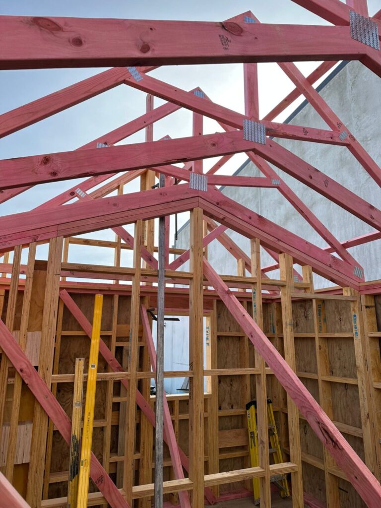
Structural Engineering
Structural engineering services for new builds, renovations, and additions to existing homes.
Earthquake Damage Assessments
Independent engineering assessments and repair advice for earthquake-affected residential properties.
Geological Modelling & Exploration Consulting
3D geological modelling, drill programme design, block models, and cross sections for exploration companies and infrastructure projects.
Not Sure What You Need?
If you’re unsure which service applies to your project, get in touch and we’ll point you in the right direction.